_(2).jpg)
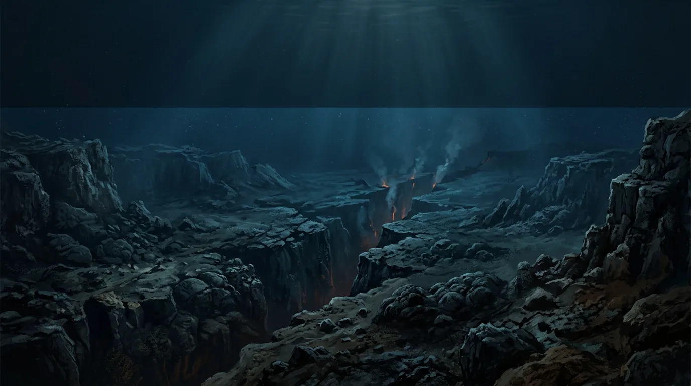
Continents seemed fixed until ocean-floor maps and magnetic patterns revealed a moving planet. Meet the scientists who helped piece together plate tectonics.
When you look at a world map, the Atlantic coasts of South America and Africa seem to fit together. Is that a clue that the continents once joined? If so, what could pull them apart?
Today we know that Earth's outer rocky layer is broken into moving plates. A plate can carry both a continent and a stretch of ocean floor. The theory of plate tectonics explains much more than the shapes of coastlines: it helps us understand ocean ridges, earthquakes, volcanoes and mountains. But scientists had to discover the evidence piece by piece.
A puzzle on opposite sides of the ocean
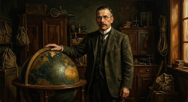
Early in the twentieth century, Alfred Wegener argued that continents had once been joined and had since moved apart. He drew on matching fossils, rock formations and signs of ancient climates on lands now separated by oceans. His 1915 book *The Origin of Continents and Oceans* developed the case for continental drift.
The clues were striking, but a serious problem remained. Wegener could not show a convincing way for continents to move. Many geologists rejected his explanation, and the parts of Earth hidden beneath the oceans were still poorly known.
Geologist Arthur Holmes later suggested that slow movement inside Earth's mantle might help move the material above it. This offered a possible mechanism, but it was a proposal rather than proof. The next clues would come from looking below the water.
A valley hidden beneath the Atlantic
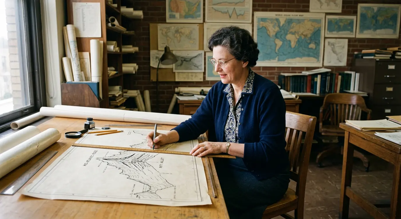
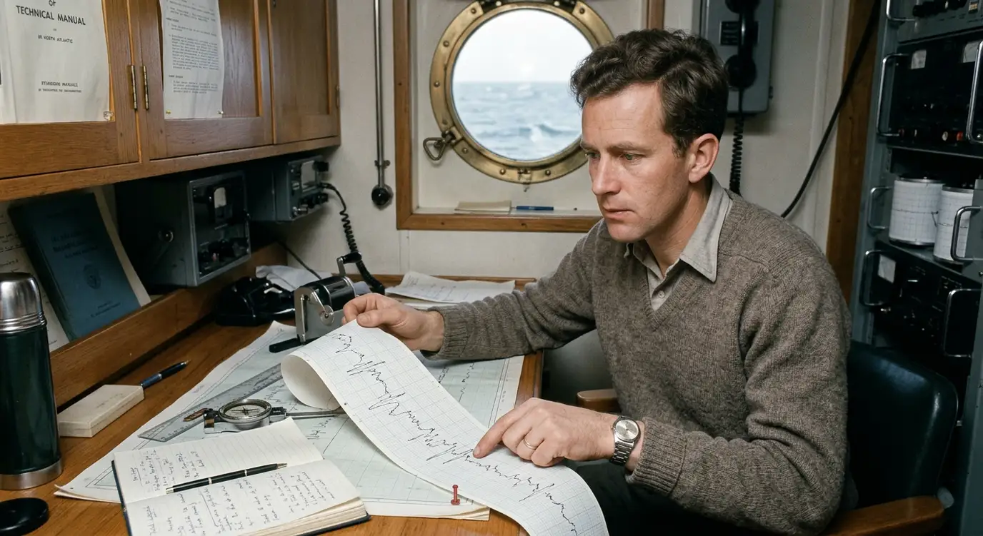
Ships can measure the depth of the ocean using echo sounding: send a sound pulse down and time its return. Marie Tharp turned shipboard measurements into profiles of the seafloor. Comparing profiles across the Atlantic in the early 1950s, she recognised a recurring valley along the crest of the Mid-Atlantic Ridge.
Tharp and her colleague Bruce Heezen combined seafloor mapping with evidence from ocean earthquakes. Their work helped show that the ridge and its central valley were part of a much larger system. Their Atlantic map made the hidden landscape easier for other people to see. The ridge had been known before Tharp's work; her contribution was to reveal the rift valley and map its wider pattern.
A valley along a ridge was a clue that the ocean floor might be changing. A map alone, however, could not show whether new rock was forming there or how the continents moved.
New seafloor at the ridges
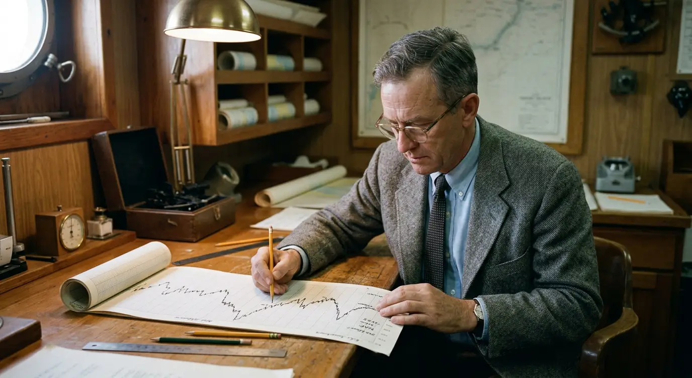
Harry Hammond Hess had studied the shape of the ocean floor using echo sounding during his service in the US Navy. In *History of Ocean Basins*, published in 1962, he proposed that new oceanic crust forms at mid-ocean ridges and moves away from them. Older oceanic crust could eventually be recycled into Earth's interior near deep-ocean trenches.
This idea, called seafloor spreading, offered a way for continents to change position as parts of moving plates. It also raised a question that scientists could test: if the floor moves away from a ridge on both sides, should it leave matching evidence in the rock?
The patterns that gave the idea a test
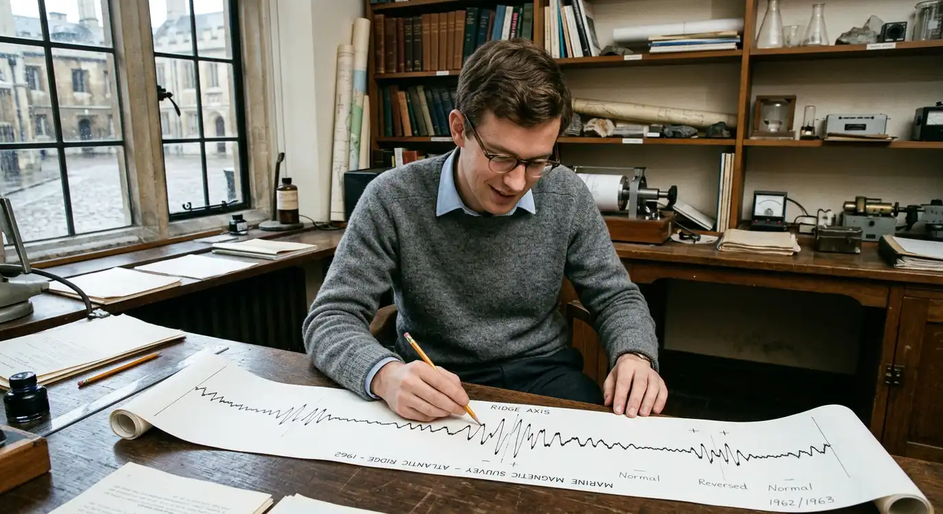
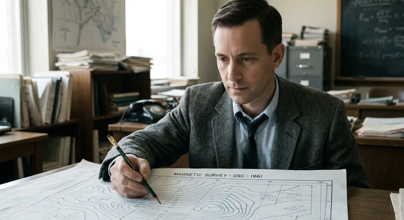
Measurements taken above the ocean floor revealed bands of stronger and weaker magnetic readings. These "stripes" are patterns in magnetometer measurements of magnetised rock, not coloured bands that a diver could see on the seabed.
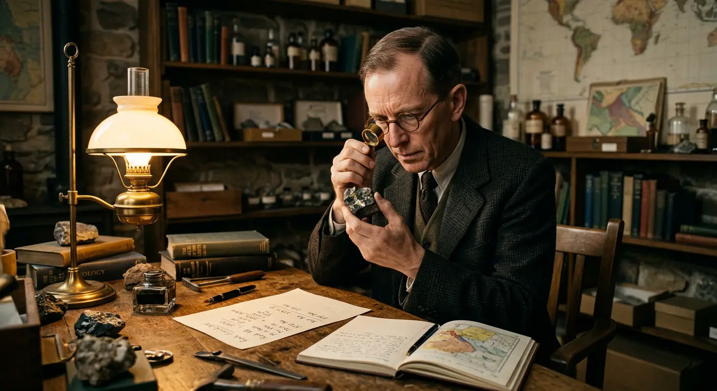
Drummond Matthews gathered marine magnetic data, and his graduate student Frederick Vine worked with him to interpret them. They proposed that rock forming at an ocean ridge records the direction of Earth's magnetic field as it cools. Because the field has reversed many times, rock formed at different times can preserve different magnetic directions. If new crust moves away from the ridge on both sides, the resulting patterns should match across it.
Canadian geophysicist Lawrence Whitaker Morley independently developed the same core interpretation. He submitted it to two journals in 1963, but both rejected it. Vine and Matthews's paper appeared in *Nature* later that year. Their 1963 paper had two authors; Morley's independent contribution is recognised in the name Vine–Matthews–Morley hypothesis.
The explanation made seafloor spreading testable. Further surveys and dates for ocean-floor rocks strengthened the evidence: rock near a spreading ridge is generally younger than rock farther away. No single magnetic survey proved the entire theory, but the matching patterns were a powerful part of the case.
From moving seafloor to moving plates
Seafloor spreading explained what happened at ridges, but a full picture also had to account for places where plates slide past one another or where oceanic crust sinks back into Earth. In 1965, J. Tuzo Wilson proposed transform faults, where plates move horizontally past each other. In 1967, Dan McKenzie and Robert Parker published a model describing the motion of rigid plates on Earth's curved surface. Other researchers contributed further evidence and models as the theory took shape.
We now understand a mid-ocean ridge as a place where plates separate and new oceanic crust forms. At some boundaries, one plate descends beneath another; at others, plates slide alongside each other. The continents travel as parts of these moving plates. Movement is usually only a few centimetres a year, yet over millions of years it can open an ocean or raise a mountain range.
A moving planet, found one clue at a time
Wegener made the case that continents had moved. Holmes explored a possible way Earth's interior could help. Tharp and Heezen made the ocean floor's hidden shape visible. Hess proposed spreading at the ridges. Matthews, Vine and Morley showed how magnetic patterns could test that proposal. Wilson, McKenzie, Parker and others helped develop the wider theory of plates.
The discovery changed what a map of Earth means. Coastlines show where land meets sea today. The rocks beneath both preserve evidence of a planet that continues to move.