_(2).jpg)
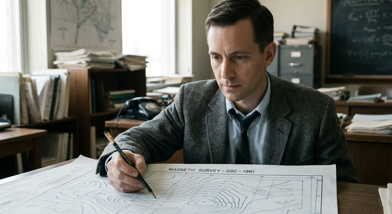
Lawrence Whitaker Morley
1920–2013 · Geophysics and remote sensing
Canadian geophysicist Lawrence Morley independently explained how magnetic patterns on the ocean floor could record seafloor spreading.
Why is this scientist famous?
He submitted his 1963 magnetic-stripe hypothesis before the similar paper by Vine and Matthews appeared; he later led Canada's remote-sensing programme.
His independently proposed magnetic interpretation became an acknowledged part of plate-tectonics history, and he later led Canada's remote-sensing programme.
Lawrence's story
From physics to geophysics
Lawrence Whitaker Morley was born on 19 February 1920 in Toronto, Canada. He began studying mathematics and physics at the University of Toronto in 1938, switching to a combined physics and geology course in his second year. His studies were interrupted by service as a radar officer during the Second World War. After the war he completed his degree and went on to earn a geophysics doctorate in 1952 under J. Tuzo Wilson, with work on rock magnetism.
The rejected hypothesis
Morley joined the Geological Survey of Canada in 1952 and helped develop its geophysics programme, including airborne magnetic surveys. In early 1963 he proposed that Earth's reversing magnetic field left matching magnetic patterns in crust forming and moving away from an ocean ridge. He submitted his idea to Nature and then to the Journal of Geophysical Research; both rejected it. He presented his idea to the Royal Society of Canada in June 1963. In September 1963, Vine and Matthews published a closely similar hypothesis in Nature. Morley's work was independent, not a three-author paper. The combined contribution is recognised as the Vine-Matthews-Morley hypothesis.
Remote sensing and legacy
From 1969 to 1972 Morley directed Canadian government planning for remote sensing — collecting information about Earth from a distance, including from aircraft and satellites. In 1972 he became the first Director General of the Canada Centre for Remote Sensing and led it until 1980. He subsequently served as a science counsellor and supported other remote-sensing initiatives. He was appointed an Officer of the Order of Canada and elected a Fellow of the Royal Society of Canada. He died in 2013.
What did they discover?
Magnetic-stripe hypothesis for seafloor spreading (1963, independently)
Morley independently proposed that Earth's reversing magnetic field leaves matching magnetic patterns in ocean crust forming and spreading away from a ridge. His submissions to Nature and the Journal of Geophysical Research were both rejected.
First Director General of the Canada Centre for Remote Sensing
From 1972 to 1980, Morley led the Canada Centre for Remote Sensing, Canada's programme for collecting information about Earth from aircraft and satellites.
Amazing facts
He studied physics and geology together.
He served as a radar officer during the Second World War.
His doctorate examined magnetism in rocks.
He developed airborne magnetic-survey work in Canada.
He saw how ocean-floor magnetic patterns could record Earth's reversals.
Two journals rejected his 1963 submissions.
He presented the idea to the Royal Society of Canada in 1963.
He later directed Canada's remote-sensing centre.
Timeline
Born in Toronto, Canada
Began studying mathematics and physics at the University of Toronto; later switched to physics and geology
Served as a radar officer
Completed a geophysics doctorate under J. Tuzo Wilson and joined the Geological Survey of Canada
Submitted his magnetic-stripe hypothesis to Nature and the Journal of Geophysical Research; both rejected it
Presented the idea to the Royal Society of Canada in June; Vine and Matthews's comparable paper appeared in September
Began directing Canadian government planning for remote sensing
Became the first Director General of the Canada Centre for Remote Sensing
Finished his directorship of the Canada Centre for Remote Sensing
Died
Awards & honours
Related Super Scientists
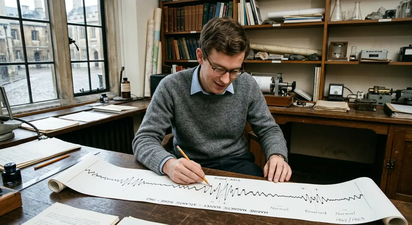
Frederick John Vine
1939–2024 · Marine geology and geophysics
With Drummond Matthews, published the 1963 magnetic-stripe interpretation that provided a way to test seafloor spreading; Lawrence Morley independently proposed the same core idea.
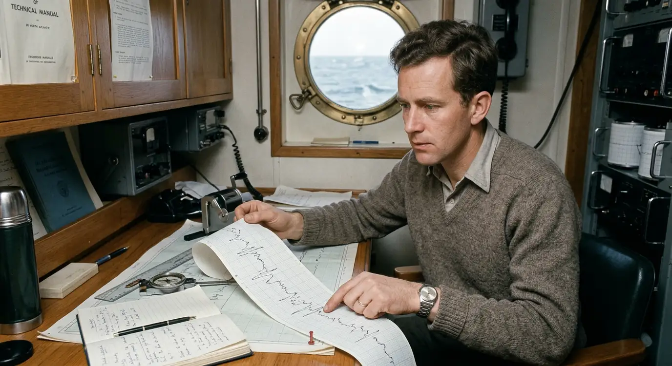
Drummond Hoyle Matthews
1931–1997 · Marine geophysics
His marine surveys and the 1963 Nature paper with his graduate student Vine helped make movement of the ocean floor testable; Morley independently developed the magnetic interpretation.
Articles about this scientist
Sources & references
- Government of Canada — Seafloor Spreading (1963)
- Lawrence W. Morley / Natural Resources Canada — The 'Lunatic' Fringe: Geophysics Comes to the Geological Survey of Canada 1952–68
- Memorial University Gazette, 28 March 1969 — Contemporary profile of Lawrence Whitaker Morley
- University of Guelph-hosted Canadian Physical Geography textbook — Palaeomagnetism and Sea Floor Spreading